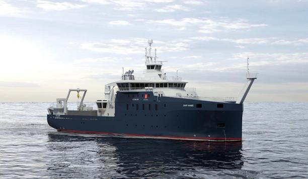
SRT Marine Systems plc, the provider of maritime tracking, management and surveillance technologies, products and integrated system solutions for ports, waterways, fisheries and coast guards, announces that it will build and launch its own maritime monitoring satellite constellation, called OCEAN-SCAN, which will provide enhanced global vessel detection and tracking, and a new recurring revenue source from maritime domain awareness (MDA) system project customers.
The OCEAN-SCAN system
The OCEAN-SCAN system will initially comprise six low earth orbiting (LEO) satellites
The OCEAN-SCAN system will initially comprise six low earth orbiting (LEO) satellites, operating in a combination of equatorial and polar orbits to provide global coverage, but with enhanced coverage of the equatorial and border regions, due to the location of most current MDA system project opportunities.
It is expected that additional satellites will be added in the future. OCEAN-SCAN is expected to be fully operational in 2019. The satellites will enable SRT to sell long range vessel detection and tracking data to SRT MDA system customers and generate recurring revenue for SRT.
Innovations in the satellite industry
Innovations in the satellite industry over the last decade have resulted in the development of small, low cost single purpose satellite system solutions, which provide a proven and low cost turn-key platform into which sensor systems can be integrated.
One of the majors in this field is Clyde Space in Edinburgh and SRT Marine Systems has entered an initial agreement with Clyde Space, who have a proven micro-satellite platform solution that is ideal for this application and can be utilised to quickly, reliably and cost effectively deliver the OCEAN-SCAN system within the required timescale.
OCEAN-SCAN hosts a combination of sensor technologies
The OCEAN-SCAN system will host a combination of sensor technologies, including Automatic Identification System (AIS), to enable accurate and reliable tracking of all types and sizes of vessels, with or without an identification transceiver.
This fusion of multiple sensor technologies on individual satellites is not found in the same combination on existing systems and will enable accurate real time detection of illegal maritime activity, as well as long range reliable tracking of even the smallest fishing boat.
OCEAN-SCAN to benefit from new technologies
OCEAN-SCAN will benefit from new technologies with greater capabilities
OCEAN-SCAN will benefit from new technologies with greater capabilities, along with system architecture innovations that enable the delivery of higher quality data directly into the customer’s existing SRT MDA monitoring system solution in real time. This will enable the seamless monitoring of vessels operating in maritime regions not covered by their terrestrial sensor systems.
Simon Tucker, the Chief Executive Officer (CEO) of SRT Marine Systems, commented: “This is a natural and major strategic initiative for SRT that will deliver significant benefits for authorities seeking to secure and manage their maritime domain, as well as a new and recurring revenue stream for SRT through the sale of data to our system project customers.”
OCEAN-SCAN fully funded via forecasted trading cash flow
Simon Tucker adds, “OCEAN-SCAN is fully funded via forecasted trading cash flow and further supported by our new working capital facility. Subject to the usual risks associated with launching satellites, we expect OCEAN-SCAN to be fully operational before the end of 2019.”
He continues, “The new technologies and innovative system architecture of the OCEAN-SCAN satellite system, combined with our SAT-Trak vessel transceiver technology, and GeoVS intelligent monitoring and analytics system, will deliver an unmatched level of fully integrated vessel tracking, identification and management capability to our customers.”